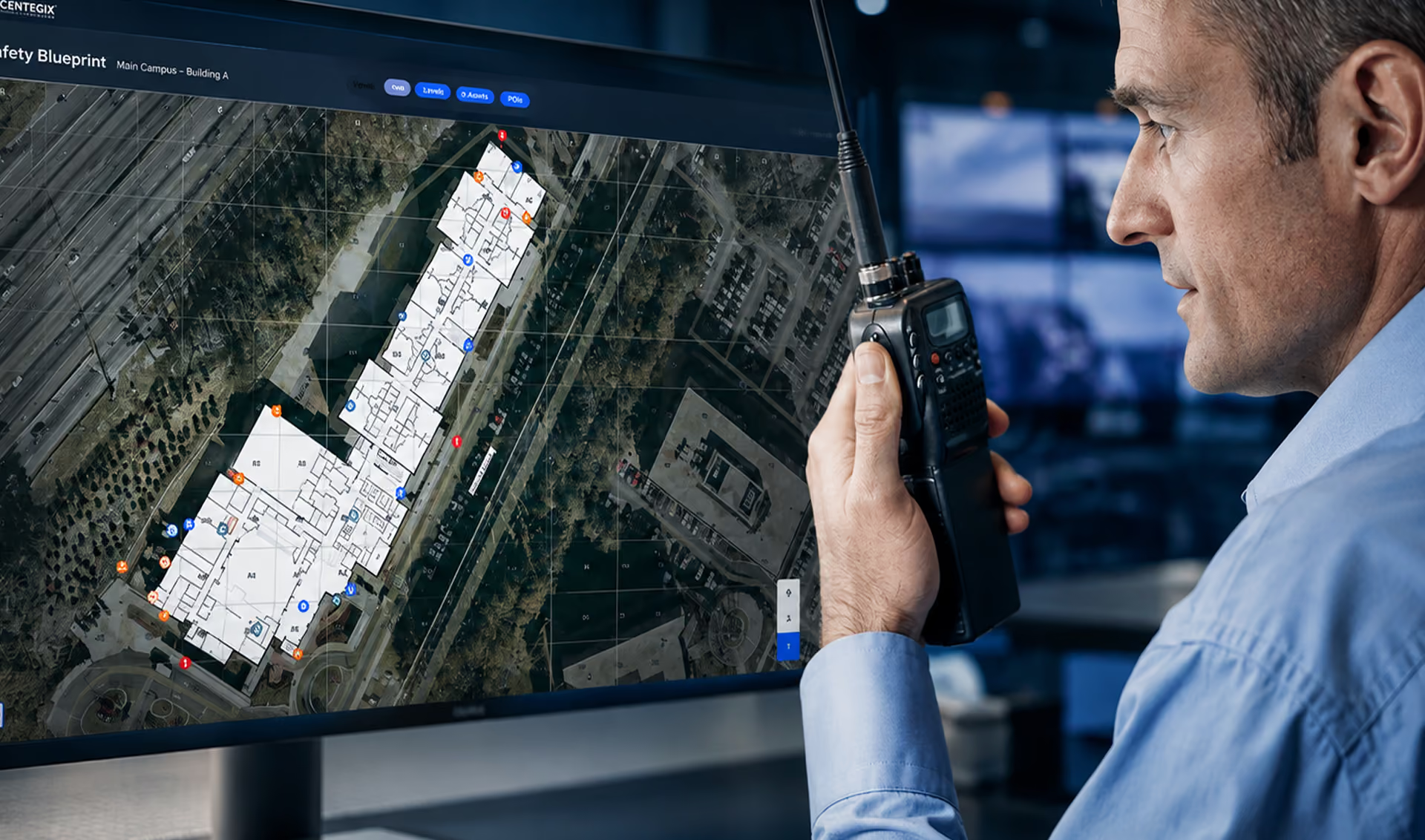
CENTEGIX Safety Blueprint is an intelligent response mapping solution that optimizes incident response, safety planning, and visitor management. Digital mapping for schools, healthcare facilities, government agencies, and commercial enterprises — from everyday incidents to emergency situations. Organizations own their maps and map data.
Key Features
- Digital critical incident mapping for rapid emergency response
- Intelligent response mapping lets administrators and staff define and customize safety plans
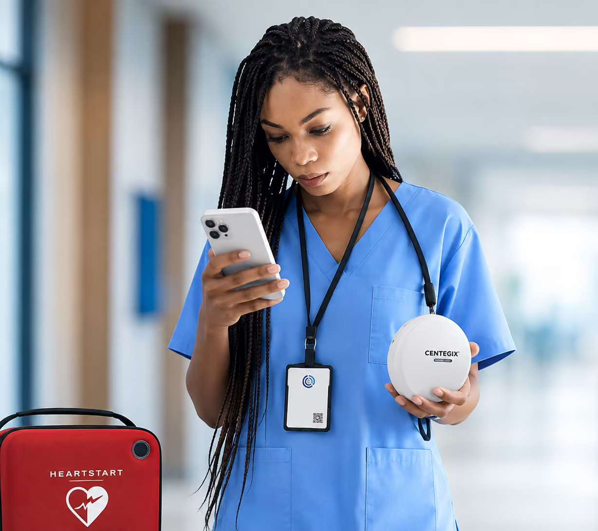
- Know the exact location of buildings and critical assets — including AEDs, fire alarms, first aid kits, fire extinguishers, and evacuation points
- Single source of truth for asset management: staff, administrators, and key personnel access and update a single digital map
- Reduce response time: know the exact location of an incident and where to find the nearest life-safety equipment
- Understand severity: activate cameras at the event location to observe emergency developments in real time
- Visualize assets: view the physical location of safety equipment and assets at any time without checking multiple spreadsheets
- Streamline inventory: track expiration dates, inspection dates, serial numbers, notes, and photos for each safety device
- Track every detail: use alerts to act on assets due for maintenance or replacement
- Maintenance alerts: expand capabilities to include additional map layers and related assets for IT and facilities needs
- Meet legal requirements: meet — and exceed — legal requirements for maintaining critical incident maps
- Real-time updates: update and change map data instantly without sending it to a third party, ensuring the map always provides accurate information
- Cost-effective: user-editable maps mean no update costs; by contrast, "leased" maps incur costs every time a third party needs to update them

Ideal For
- K-12 Education
- Higher Education
- Healthcare
- Commercial
- Government
- Public Safety

Contact 0796 700 777 for a quote.
| Real-time updates | Make instant updates and changes to map data without having to send it to a third party for updating. This ensures the map always provides accurate information. |
|---|---|
| Cost-effective | With a user-editable map, there's no cost to make updates. Conversely, with "leased" maps, you will incur costs every time you need a third party to make an update. |